eVTOL and Aerial Drone Solutions
Accurately search an entire city for feasible aviation infrastructure
What to Expect❋ Vertiport Development
We provide the mapping and analytical layer needed to quickly identify incursions into protected surfaces, understand current and future property development, and secure airspace to safely establish protected aviation uses in the civic space.
❋ Air Taxi and Drone Navigation
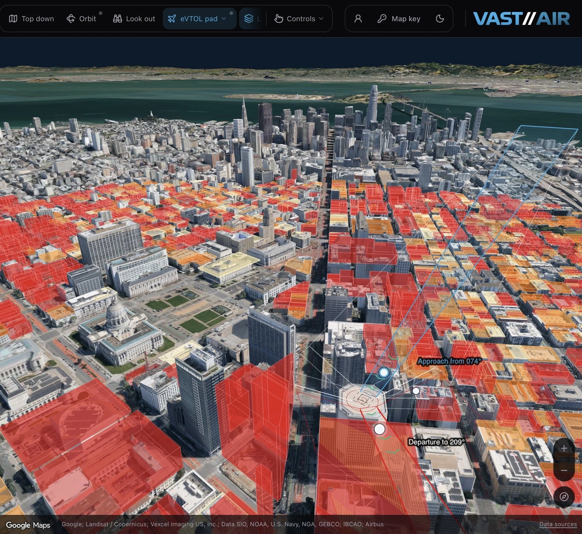
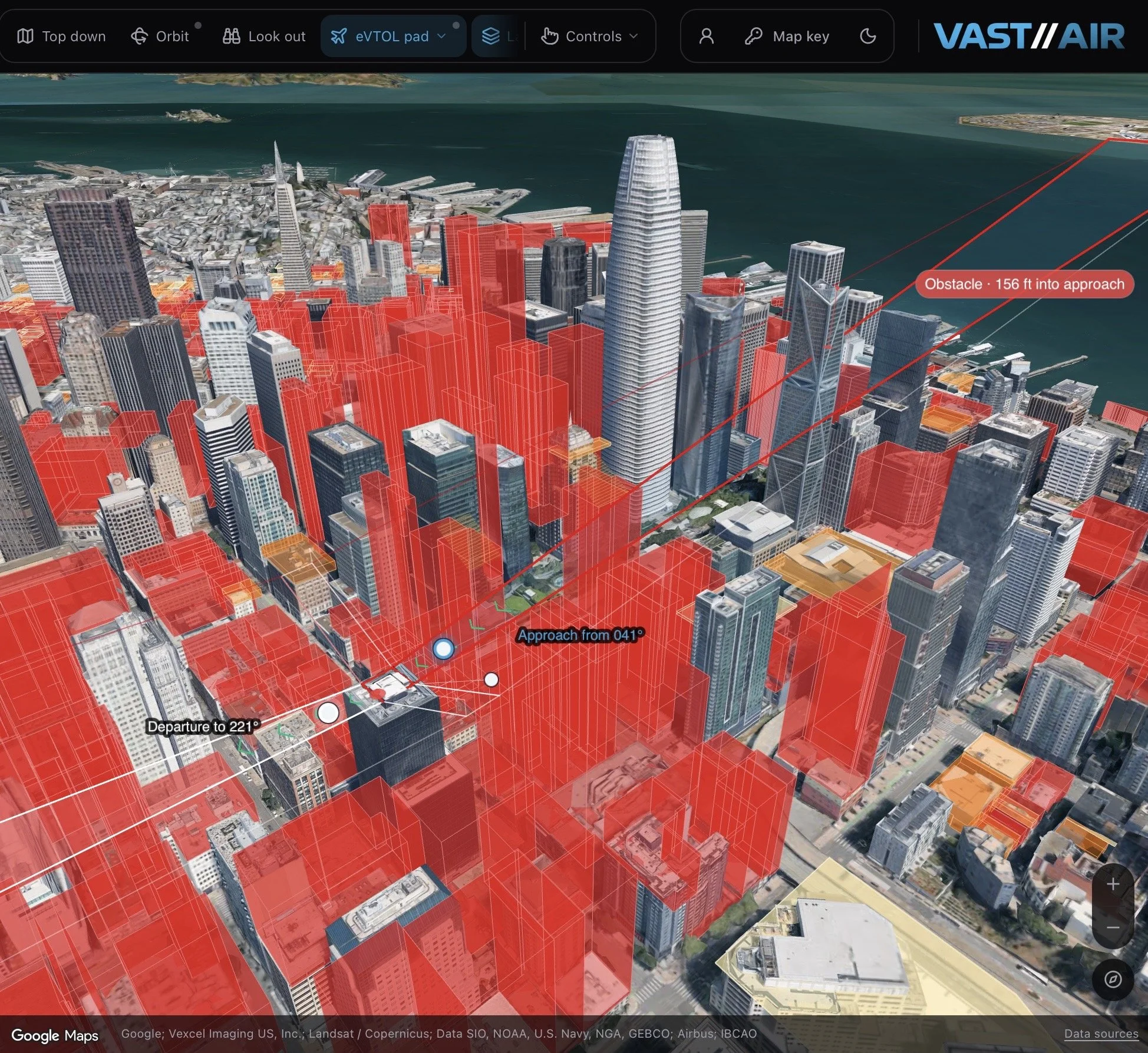
Place geographically accurate aviation infrastructure, model FATO and approach / departure geometries, change heading, elevation, and orientation of protected surfaces, and rank properties against aviation, land-use, and community priorities.
❋ Geospatial Operating System
We partner with companies seeking to refine their ability to reach you with their products by providing verified air space topography in the civic space so that deliveries can be completed safely with a focus on good governance and the civic community.
❋ Much More Than a Digital Twin
We bring fragmented public data together into one spatial environment, then let you build on the real world with geographically accurate aviation requirements, analyze what works, and transact the underlying space when needed.
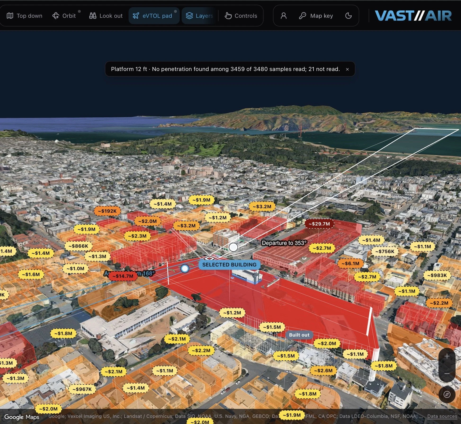
See what can be built around your vertiport instantly
Protect critical aviation surfaces from future development
Connect approach and departure paths directly into your AAM network
We are the geospatial infrastructure layer for Advanced Air Mobility (AAM)
We help determine where aircraft can fly and land, who controls those locations, and what infrastructure and property rights are required to make the nodes and network operational
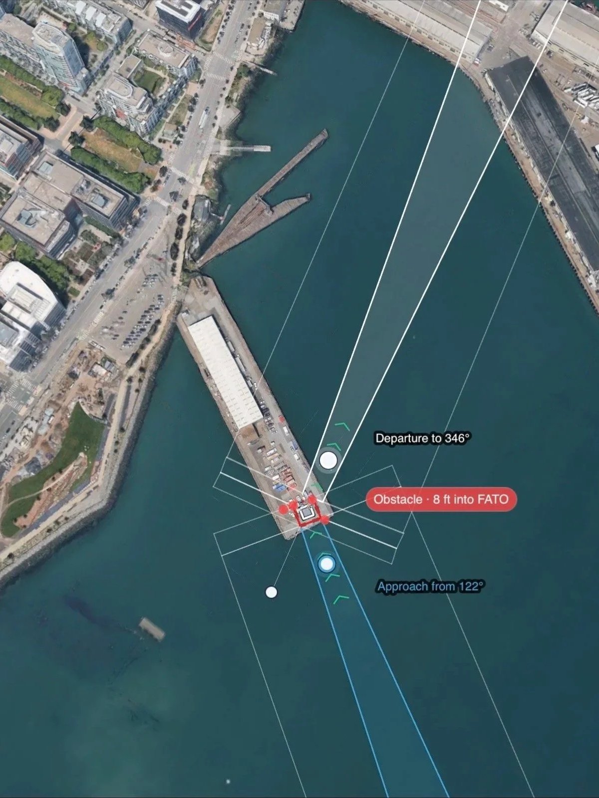
Case study: see where the Port of San Francisco could feasibly place a vertiport, test out approach and departure surfaces against current and future buildings, and orient FAA geometries away from obstacles
We are actively seeking partnerships
Vertiport developers
Infrastructure / site owners
UTM / airspace software firms
Public-sector / utility stakeholders
Demand-side logistics platforms and portfolio owners
Original Equipment Manufacturers
Case study: vertiport feasibility study of Sutter Stockton Street Parking Garage in under 7 minutes (340 Sutter St. San Francisco)
Scalar renderings of official FAA geometries
Real world verified airspace topography
Instant site analysis
Case study: check multiple locations where San Francisco could feasibly place a vertiport, test out approach and departure surfaces against current and future buildings, and orient FAA geometries away from obstacles to find the optimal design.

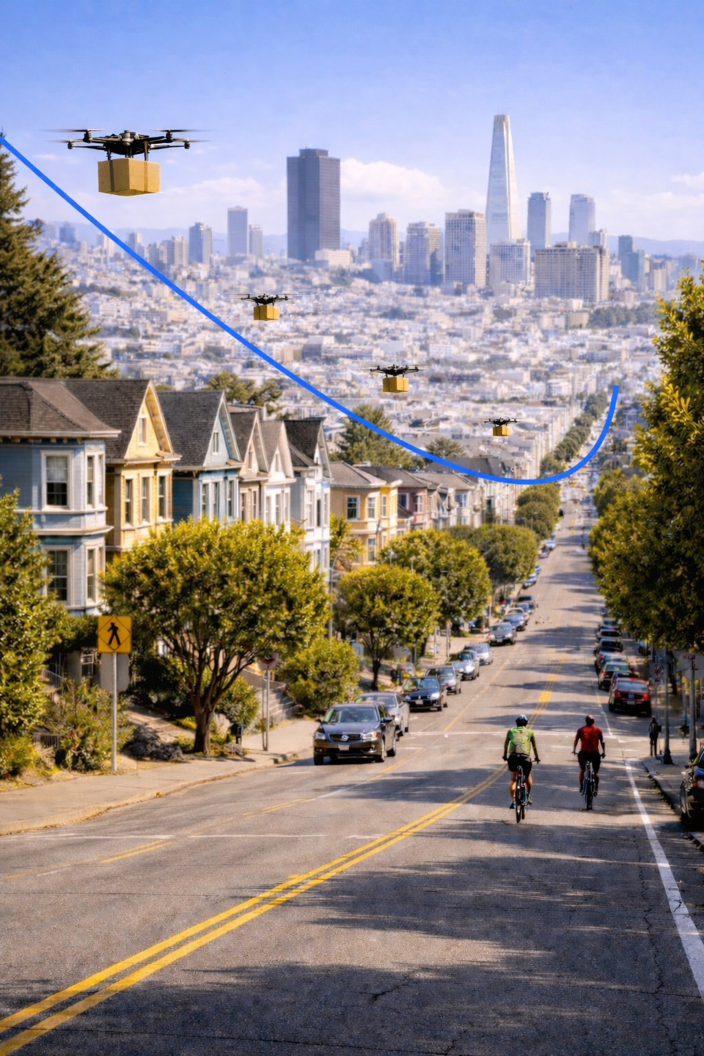
We Must Integrate Drones into City Infrastructure
or trade one type of traffic congestion for another
Verified Low-Altitude Airspace Mapping
Civic Airspace Access Layer
Partnership on Civic Airspace Pilot Studies
Purchasing Civic Airspace to Protect Approach and Departure Surfaces
Establishing a Civic Airspace District
//
Looking Forward and Looking Up